Exploring the Wonders of 3D Mapping and Modeling – A Deep Dive into a Transformative Technology
What is 3D Mapping and Modeling?
Have you ever wondered how we can create detailed virtual representations of real-world objects and environments?
The answer lies in the fascinating world of 3D Mapping and Modeling.
In this article, we will take you on a journey to uncover the intricacies of this technology and explore a specific aspect that makes it truly transformative.
Introduction
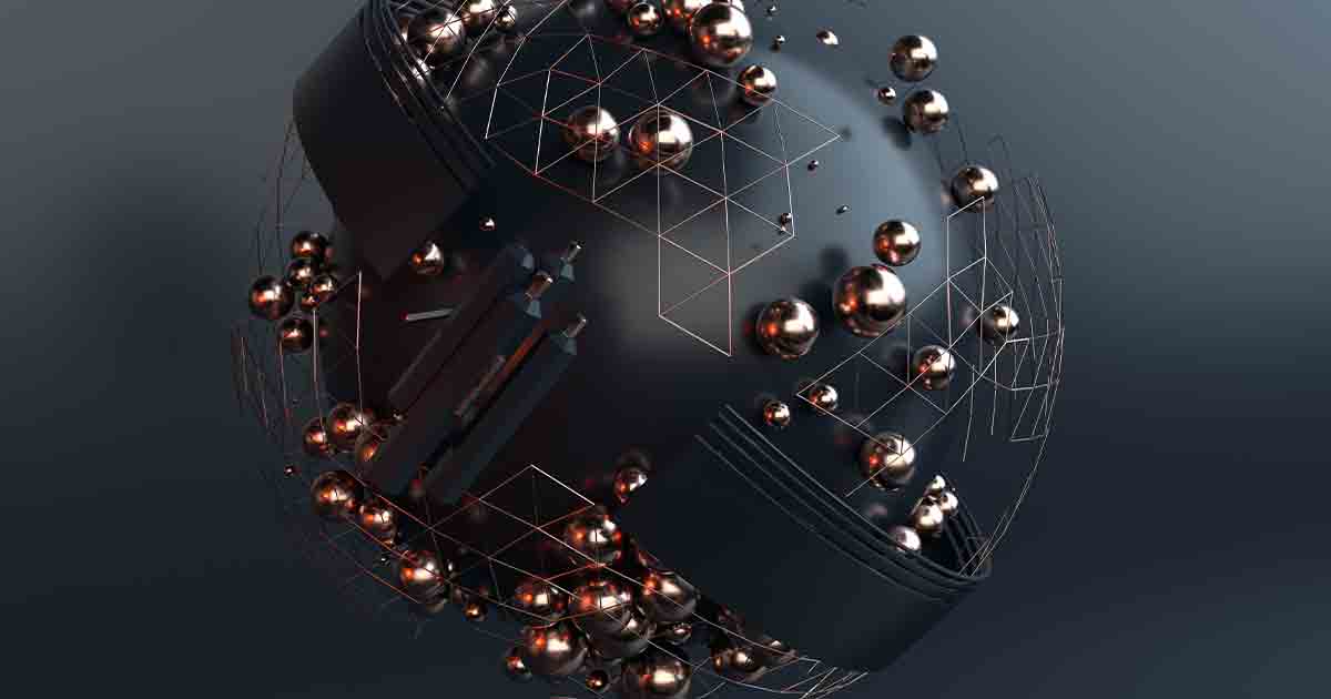
3D Mapping and Modeling have revolutionized how we perceive and interact with the world.
These technologies go beyond the limitations of 2D representations, allowing us to recreate intricate details in a virtual space.
Whether for entertainment, scientific research, or practical applications, 3D Mapping, and Modeling have opened doors to endless possibilities.
Understanding 3D Mapping
Defining 3D Mapping
At its core, 3D Mapping involves creating a three-dimensional representation of a physical object, space, or terrain.
It is achieved by collecting data points from various sources, which are then reconstructed into a cohesive 3D model.
Applications of 3D Mapping
The applications of 3D Mapping are vast and diverse.
From creating realistic virtual environments in video games to aiding architects in visualizing building designs, 3D Mapping has transformed industries across the board.
Techniques Used in 3D Mapping
Several techniques are employed in 3D Mapping, including LiDAR (Light Detection and Ranging), photogrammetry, and laser scanning.
These methods capture data from different perspectives, enabling accurate and detailed representations.
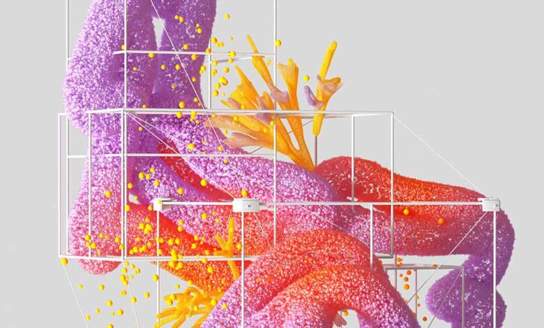
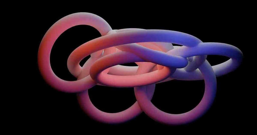
The Art of 3D Modeling
What is 3D Modeling?
3D Modeling is the process of creating digital representations of objects or surfaces.
It uses specialized software to craft intricate details, textures, and dimensions, resulting in a lifelike virtual model.
Importance of 3D Modeling
The importance of 3D Modeling stems from its capacity to close the divide between imagination and reality.
It has become an essential tool in various fields, from product design to medical research.
Types of 3D Models
There are various 3D models, including wireframe, solid, and surface models.
Each type serves different purposes, catering to the specific needs of different industries.
Integration of 3D Mapping and Modeling
Enhancing Realism in Virtual Environments
By combining 3D Mapping and Modeling, virtual environments become more immersive and realistic.
This integration allows for accurate representations of real-world objects and their interactions.
Applications of Combined Technology
Integrating 3D Mapping and Modeling has applications in architecture, urban planning, and crime scene investigation.
It enables professionals to analyze and present data in a visually engaging manner.
Advanced Tools and Technologies
LiDAR Technology
LiDAR technology utilizes laser light to measure distances and create high-resolution 3D maps.
It’s commonly used in topographic Mapping, autonomous vehicles, and forestry management.
Photogrammetry in 3D Mapping
Photogrammetry involves capturing images from multiple angles and using them to reconstruct a 3D model.
This technique is employed in creating realistic models of landscapes and structures.
Role of Artificial Intelligence
Artificial Intelligence is pivotal in processing and analyzing vast data collected during 3D Mapping and Modeling.
AI algorithms assist in pattern recognition and data interpretation.
Industries Transformed by 3D Mapping and Modeling
Architecture and Construction
Architects and engineers utilize 3D Mapping and Modeling to visualize designs and detect potential flaws before construction begins.
It saves time and resources and ensures precision.
Entertainment and Gaming
The entertainment industry benefits from 3D Mapping and Modeling by creating visually stunning and interactive worlds in movies and video games.
Gamers experience a heightened sense of realism and immersion.
Urban Planning and Development
Urban planners use 3D Mapping to simulate the impact of new developments on a city’s infrastructure and aesthetics.
It aids in making informed decisions about urban growth.
Challenges and Future Possibilities
Overcoming Technical Challenges
Despite its advancements, 3D Mapping and modeling face challenges like data accuracy and processing complexity.
Ongoing research aims to refine existing techniques and develop new solutions.
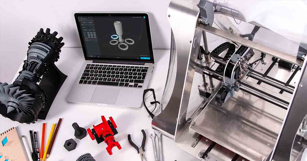
The Potential of 3D Printing
The marriage of 3D Mapping, Modeling, and 3D printing holds immense potential.
It could revolutionize manufacturing, allowing for the creation of intricate objects with unprecedented speed and precision.
A Closer Look at Augmented Reality
3D Mapping for AR Applications
Augmented Reality (AR) blends virtual elements with the real world.
3D Mapping is integral to AR, enabling the seamless integration of virtual objects into our surroundings.
Changing User Experiences
AR transforms how we interact with information and our environment.
AR enhances our understanding and engagement with the world, from interactive museum exhibits to navigation apps.
The Role of GIS (Geographic Information System)
Spatial Data and 3D Mapping
GIS technology combines spatial data with 3D Mapping, enabling professionals to analyze and interpret geospatial information.
It is crucial in fields like urban planning and environmental conservation.
Geospatial Analysis and Insights
By overlaying different data layers on 3D maps, GIS offers insights into various phenomena, such as population density or land use patterns.
It aids decision-making in diverse industries.
Ethical and Privacy Considerations
Data Security and Privacy Concerns
As 3D Mapping becomes more sophisticated, data privacy and security concerns arise.
The collection of detailed spatial data can lead to potential misuse if not handled carefully.
Legal Implications of 3D Mapping
Legal frameworks are evolving to address the challenges of 3D Mapping and Modeling.
Matters like intellectual property rights and privacy regulations are gaining growing significance.
Ensuring that collected data is used ethically and responsibly is a critical consideration as 3D Mapping and Modeling continue to evolve.
Conclusion
In conclusion, 3D Mapping and Modeling have revolutionized our ability to create realistic virtual representations of the physical world.
From accurately mapping terrains to creating intricate 3D models of objects, this technology has permeated various industries and transformed how we perceive and interact with our surroundings.
As advancements in tools, techniques, and integration continue, the potential for innovation and applications in fields such as architecture, entertainment, and urban planning is virtually limitless.
FAQs
Q: How does 3D mapping work?
A: 3D Mapping involves collecting data points from various sources and reconstructing them into a three-dimensional model.
Q: What industries benefit from 3D Modeling?
A: Industries such as architecture, entertainment, and urban planning greatly benefit from 3D Modeling.
Q: What is LiDAR technology used for?
A: LiDAR technology is used for topographic Mapping, forestry management, and even in autonomous vehicles.
Q: How does 3D Mapping enhance augmented reality experiences?
A: 3D Mapping provides accurate spatial data, enabling virtual objects to seamlessly integrate with the real world in augmented reality applications.
Q: What are the ethical concerns related to 3D Mapping?
A: Ethical concerns include data privacy, security, and potential misuse of detailed spatial data.
Legal considerations also play a role in shaping the responsible use of this technology.